 Geobru catalogue
Brussels Environment
Type of resources
Available actions
Topics
INSPIRE themes
Keywords
Contact for the resource
Provided by
Years
Formats
Representation types
Update frequencies
status
Service types
Scale
Resolution
-
Brussels-Capital Region: This service allows downloading the dataset (compliant with the data specifications of INSPIRE) "Surface Geology" of the Brussels-Capital Region of Brussels Environment.
-
Brussels-Capital Region: This service allows downloading the dataset of Brussels Environment (compliant with the data specifications of INSPIRE) of the Natura 2000 habitats of the Brussels-Capital Region.
-
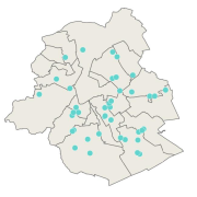
Brussels-Capital Region : In order to help the inhabitants of Brussels to raise fruits and vegetables, the institution 'Bruxelles Environnement - Brussel Leefmilieu' set up since 2011, the kitchen garden's network. Professionals coordinate the network with over 80 members. Together they share their passion and know-how on kitchen gardens.
-
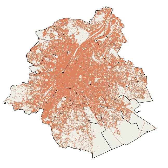
This map indicates the impervious surfaces where rainwater cannot or hardly infiltrate into the soil for the year 2022. Impervious surfaces are: artificial sealed surfaces (such as streets, squares, car parks ...), buildings and compact soils. Permeable surfaces are vegetation-covered soils, bare soils and water areas. Railway areas are permeable or impermeable depending on the type of cover. The map was compiled from satellite images (Sentinel -2) and orthophotos (from UrbIS and Digitaal Vlaanderen) with a final resolution of 1m.
-
Brussels-Capital Region: This service is the service mapping data visualization of the spatial datasets of Brussels Environment (both non-INSPIRE datasets and non-compliant INSPIRE datasets).
-
Brussels-Capital Region: This service is the service mapping data visualization of the spatial datasets of Brussels Environment (both non-INSPIRE datasets and non-compliant INSPIRE datasets).
-
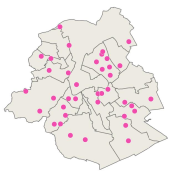
Brussels-Capital Region : Dataset of the sustainable neighbourhoods, resuming the project leader, the year of the call for proposals and a possible link to the initiative. Since 2008, Brussels Environment has launched a “Participatory Sustainable Neighbourhoods” call for proposals each year, which objective is to support initiatives from residents and create a neighbourhood dynamic. On the scale of their area, residents and users of the neighbourhood act together on various issues: energy savings, waste reduction, rationalisation of consumption, air quality, preservation of quiet areas, better consideration of use of space, promotion of the natural heritage, strengthening social cohesion, etc.
-
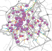
Brussels-Capital Region: This service is the service mapping data visualization of the dataset of Brussels Environment (compliant with the data specifications of INSPIRE) "Waste Water Treatment Plants discharge points" of the Brussels-Capital Region of Brussels Environment.
-
Brussels-Capital Region : This map depicts elements exposed to potential flooding.
-
Brussels-Capital Region: This service is the service mapping data visualization of the dataset of Brussels Environment (compliant with the data specifications of INSPIRE) of the Natura 2000 habitats of the Brussels-Capital Region.